

ROAR provides specialized documentation and aerial data services to support public safety, insurance, and risk management professionals.
Our Services
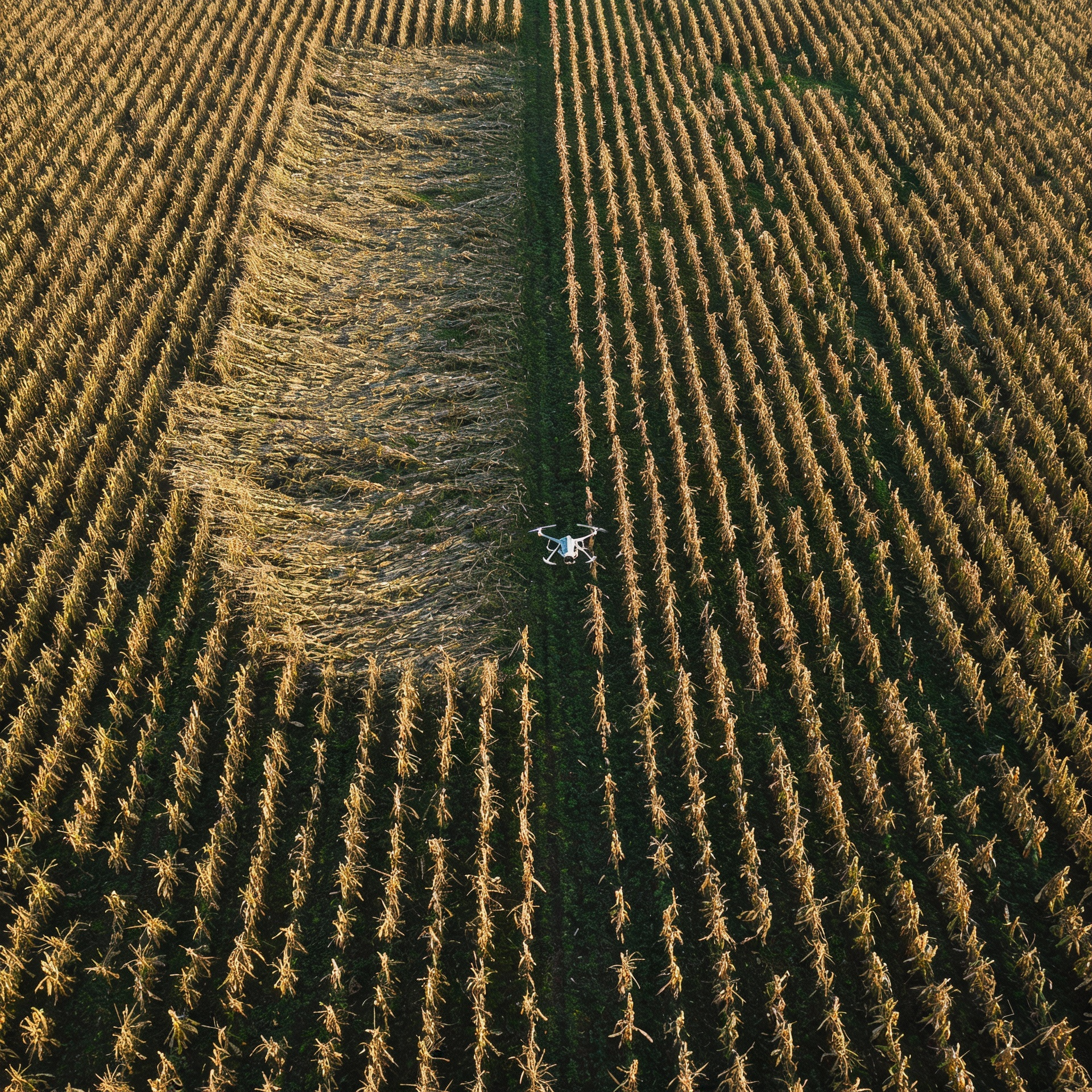
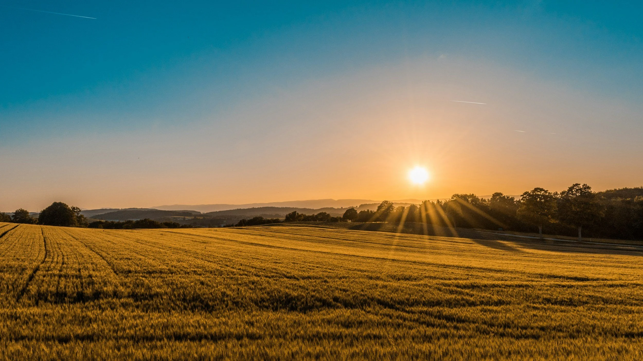
ROAR provides high-resolution aerial mapping and data products to help farmers, landowners, and agricultural professionals make informed decisions. Using advanced drone platforms, we deliver accurate orthomosaics, crop health visuals, field measurements, and damage documentation to support planting, irrigation planning, yield analysis, and insurance or adjustment needs. Our maps provide a clear, actionable view of your fields—fast, precise, and tailored to real-world agricultural operations.
Acreage-Based Pricing
Agricultural mapping services are priced per acre to ensure fair and transparent costs based on field size and mission scope. Pricing includes mission planning, data capture, processing, and delivery of high-resolution, georeferenced mapping products. Larger fields and multi-field projects may qualify for tiered pricing, while additional analysis or specialized documentation is quoted separately based on complexity.
Introductory Pricing
Introductory Price: $450 for a single quarter-section (160 acres) field. Includes high-resolution 2D orthomosaic with crop health visualization.
Standard Single-Field Rate: $600 per 160-acre field.
Multi-field, growing-season, and repeat-customer discounts available.
Please use “contact me” to schedule. I do not accept payments through this website.
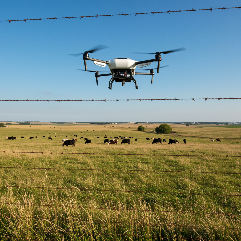
Practical aerial support for working ranches
Managing cattle and maintaining large properties takes time, fuel, and manpower. ROAR provides practical aerial support that helps ranchers quickly see what’s happening across their land—without riding every pasture.
Using drones, ROAR helps ranchers gain a clear overhead view of large pastures, fence lines, and herd locations, allowing them to make better decisions about where to focus time and effort.
Aerial checks don’t replace boots on the ground—they provide a better picture first.
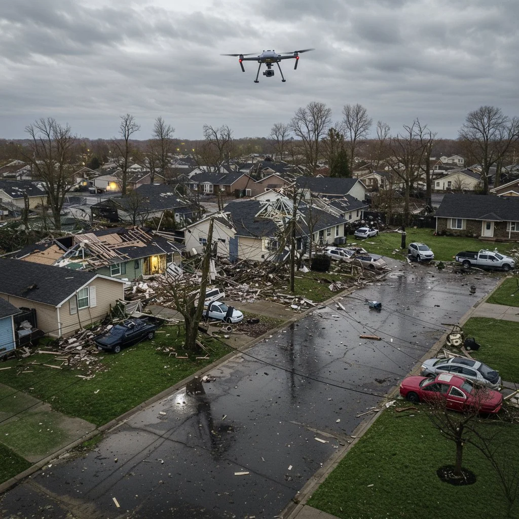
ROAR Rapid CAT Response™ delivers fast, defensible aerial documentation for catastrophic weather events. We deploy within hours of major hail, wind, tornado, and flood events to capture high-resolution imagery, orthomosaics, and site-specific damage documentation for insurance carriers, public adjusters, municipalities, and landowners.
Our CAT operations are built for scale—covering large geographic areas efficiently while maintaining strict data integrity, chain-of-custody, and clear deliverables that support claims, assessments, and recovery decisions. From residential neighborhoods to agricultural land and critical infrastructure, ROAR provides clear aerial intelligence when time matters most.
CAT Pricing Details
CAT Response services are priced on an event and deployment basis rather than per property or per acre. Pricing reflects rapid mobilization, operational availability, and the ability to cover multiple sites efficiently during high-volume storm events. Final cost is determined by deployment duration, travel distance, area coverage, and requested deliverables. Multi-day and multi-site deployments may be quoted at adjusted rates.
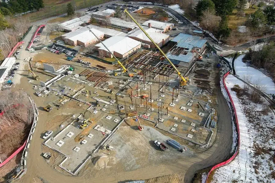
Clear aerial documentation for active job sites
ROAR provides high-resolution aerial imagery and mapping to help contractors, developers, and project managers clearly see what’s happening on their job sites. Our services are designed to support progress tracking, site verification, and documentation—without disrupting work on the ground.
Using drones, ROAR delivers accurate, up-to-date visuals that help teams communicate clearly, verify completed work, and maintain reliable records throughout a project.
ROAR Documentation™
Neutral, high-clarity scene documentation for fire and property losses—captured early, structured for review, and preserved before conditions change.
Common uses include:
Fire-damaged residential and commercial structures
Smoke and water loss documentation
Large or complex property losses
Time-sensitive scenes prior to cleanup or repair
About
ROAR drones
ROAR Drones (Rapid Onscene Aerial Response) was founded by Joey Donaldson—a former U.S. Navy aircrewman, firefighter, and state-commissioned fire investigator based in Harvey County, Kansas. ROAR provides professional drone services for storm damage documentation, ranch and agricultural operations, and construction progress mapping.
Our work is shaped by real-world operational experience, where accuracy, discipline, and reliable information matter. Every mission is planned deliberately and flown with purpose to deliver clear, defensible aerial data that helps clients make confident decisions.